The City Council promotes a pioneering study of the condition of roads using 360º analysis technology and artificial intelligence.

The initiative will provide a complete diagnosis of the state of the road network and optimize maintenance activities throughout the municipality.
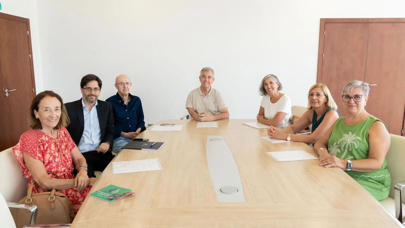
Estepona City Council reports that it has launched, for the first time in the municipality, an innovative study that will provide a complete and accurate diagnosis of the state of the road network of the city. The deputy mayor of the area of Services and External Control, Blas Ruzafa, said that this action is part of the Municipal Paving Plan and aims to identify, classify and prioritize the necessary repair and maintenance actions in the road network.
The mayor explained that, to carry out this work, a specialized vehicle has toured the streets of the municipality capturing images and high-precision data that will analyze the existing damage to the pavement and determine the level of intervention required in each case. The system functions as an authentic 'X-ray' of the city, providing an objective and detailed technical evaluation of each road.
In addition to the pavement analysis, the project will involve the creation of a complete 360 digital platform that will provide the City Council with a visual and geo-referenced inventory of the main municipal assets. These include street lighting, horizontal and vertical signage, as well as other urban elements of interest.
The CEO of the company Fisotec, responsible for the study, José Ruiviejo, stressed that this tool 'goes far beyond a conventional pavement study, as it provides a comprehensive view of the municipality through a platform that works in a similar way to Google Street View. The City Council will be able to access its updated 360 images and have detailed information on the real state of its infrastructures and urban assets'. He also pointed out that 'technology based on artificial intelligence allows to collect and process large amounts of information quickly and efficiently, generating a faithful representation of the current situation of the municipality and facilitating decision making to plan maintenance and improvement actions'.
For his part, the municipal technician, Xavier Witmeur, explained that the study responds to the fulfillment of the programs contemplated in the contract of the operational brigades and reinforces the work of preventive and corrective maintenance of the city as well as technological innovation. In this sense, he has indicated that 'until now, it was necessary to carry out previous inspections and surveys to determine the real extent of the damage to a road. With this technology we will be able to automatically identify and classify the different types of damage, know their seriousness and act more quickly and efficiently'.
This tool will make it possible to optimize municipal resources, prioritize the most urgent actions and improve the planning of future investments in road maintenance. In particular, this tool is essential for the imminent drafting of the new 2026 municipal asphalt plan valued at 7 million euros, which will be executed soon.
With this initiative, the City Council incorporates advanced technological solutions to urban management, reinforcing its commitment to innovation and a more efficient, preventive maintenance model adapted to the real needs of the city.